West Valley Watershed Master Plan
About
Valley Water conducts comprehensive planning to ensure its projects and programs meet watershed management goals. Watershed Master Plans are now underway for the West Valley and Lower Peninsula watersheds.
Background
Valley Water’s mission is to provide Silicon Valley safe, clean water for a healthy life, environment, and economy. As water management challenges are exacerbated by factors such as climate change, urban growth, and water supply concerns, Valley Water must strategically allocate resources to actions that achieve its mission and the needs of the community most effectively. The Watershed Master Plans provide guidance on an integrated approach to water management in each of Santa Clara County’s five watersheds. These plans draw from and align with existing plans and policies, but also seek new opportunities to reflect community values, improve watershed health, and integrate environmental stewardship into everything Valley Water does.
Valley Water’s Watershed Master Planning, previously referred to as One Water, consist of: 1) a countywide framework to develop the vision, goals, and objectives used across all watersheds, and 2) Watershed Master Plans specific to each of the five watersheds located within Santa Clara County. Valley Water has completed Master Plans for the Upper Pajaro, Guadalupe, and Coyote Creek watersheds and is now developing the final two plans for the West Valley and Lower Peninsula watersheds. We seek input from interested parties at all stages of the planning process to create plans that speak best to all water resource needs.
Visit our project page here.
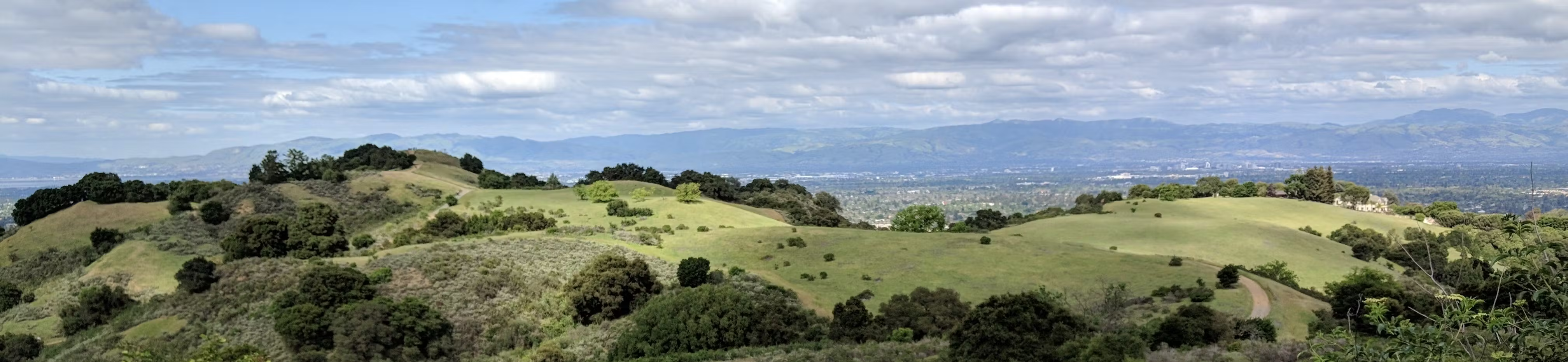
West Valley Watershed

Map: West Valley Watershed. Santa Clara Valley Water District
The West Valley Watershed covers approximately 85 square miles and is the smallest of the five major watersheds in Santa Clara County. Located in the northwest region, it sits just south of the Lower Peninsula watershed. The major cities within the boundaries of West Valley include Cupertino, Sunnyvale, San Jose, Saratoga, Campbell, and Santa Clara. The main creek systems are Sunnyvale East and West Channels, Calabazas Creek, and San Tomas-Saratoga Creeks. Like the Lower Peninsula Watershed, creeks flow north down the eastern slopes of the Santa Cruz Mountains into the tidal wetlands of south San Francisco Bay. Although there are many open-space areas and public parklands, particularly in the headwaters and mid-region of West Valley, the area southwest of Highway 85 is densely urban and accommodates mostly residential and commercial land uses.
-
General Update for the West Valley Watershed Master Plan
Share General Update for the West Valley Watershed Master Plan on Facebook Share General Update for the West Valley Watershed Master Plan on X (formerly Twitter) Share General Update for the West Valley Watershed Master Plan on Linkedin Email General Update for the West Valley Watershed Master Plan link
Development of the West Valley Watershed Master Plan continues to make steady progress. The project has completed the existing conditions and watershed assessment phases and is now focused on developing and refining Priority Actions that will shape the watershed’s long-term future.
Existing Conditions Complete
Since our last update, the Watershed Master Plan team completed the Settings Report, which brings together historical information, existing watershed conditions, and key challenges and opportunities into one comprehensive planning document. The report summarizes the watershed’s land use, ecological resources, water supply, water quality, and flood risk, and provides the technical foundation for developing future Priority Actions.
The assessment identified key challenges, including highly constrained urban creeks, aging flood protection infrastructure, degraded habitat and limited ecological connectivity, and water quality impairments associated with urban runoff. It also highlighted opportunities to improve watershed conditions through multi-benefit projects, nature-based solutions, strategic asset renewal, regional partnerships, and targeted restoration in urban and bayland areas.
Community and Partner Engagement
Community collaboration has remained a central part of the planning process. The Watershed Master Plan team has conducted several rounds of public and partner engagement, bringing together local jurisdictions, Santa Clara County, open space districts, resource and regulatory agencies, nonprofit organizations, businesses, and community members.
Key partners in the West Valley Watershed include organizations such as the City of San José, Santa Clara County Parks, and the City of Sunnyvale. Through meetings and community events, the team strengthened partnerships and identified opportunities for future collaboration on watershed projects and shared long-term goals.
The team also engaged nonprofit organizations, business groups, community organizations, and residents—including the League of Women Voters and the general public—to better understand community priorities. Feedback from these meetings highlighted support for nature-based creek restoration, improved fish passage, expanded trail connectivity, and enhanced wildlife habitat.
Watershed Metrics Complete
Throughout 2025, the team collaborated with Valley Water subject matter experts across multiple technical disciplines and the San Francisco Estuary Institute (SFEI) to refine watershed metrics and establish watershed-specific targets. Building upon the One Water Countywide Framework and previous watershed master plans, these metrics were tailored to reflect the West Valley Watershed using available data from Valley Water programs and regional partners, including the Santa Clara Valley Urban Runoff Pollution Prevention Program and the South Bay Salt Pond Restoration Project.
These metrics measure progress toward objectives related to water supply, water quality, flood risk reduction, ecosystem health, climate change, and overall watershed health. They also help identify where additional improvements are needed and provide the technical foundation for developing watershed Priority Actions.
Current Focus: Priority Actions
As of Summer 2026, the Watershed Master Plan team is focused on developing and refining more than 60 Priority Actions for the watershed. This work includes identifying watershed needs, evaluating potential solutions, refining draft recommendations, and coordinating with Valley Water subject matter experts—including biologists, water resource specialists, and civil engineers—to ensure the recommendations are technically sound, feasible, and aligned with watershed priorities.
Beginning in August 2026, the team will conduct another round of stakeholder outreach with local jurisdictions, partner agencies, nonprofit organizations, and community groups to review the draft Priority Actions before they are incorporated into the first draft of the Watershed Master Plan.
As part of this outreach effort, the team also continues to engage Valley Water Board advisory committees to share progress and gather feedback. In May, the team presented its master planning progress to the Board Policy and Monitoring Committee. Additional presentations are planned for the Agricultural Water Advisory Committee and the Environmental and Water Resources Committee.
What’s Next
The first draft of the West Valley Watershed Master Plan is anticipated by the end of 2026.
Community input continues to play an important role in shaping the plan. If you have an idea for a watershed improvement or believe there is a Priority Action that should be considered, it’s not too late to participate. We encourage you to submit your ideas via email to Emercado@valleywater.org.
To view the subject matter expert workshop presentation, click here.
